Home
Mobile Menu
Skip to main content
  • About
  • Data
  • Collaborate
  • Learn

MODIS Adaptive Processing System (MODAPS) SIPS

  1. Earth Observing System Data and Information System (EOSDIS)
  2. Science Investigator-led Processing Systems (SIPS)
  3. MODIS Adaptive Processing System (MODAPS) SIPS
Share on Twitter Share on Facebook Share on Pinterest

MODAPS SIPS

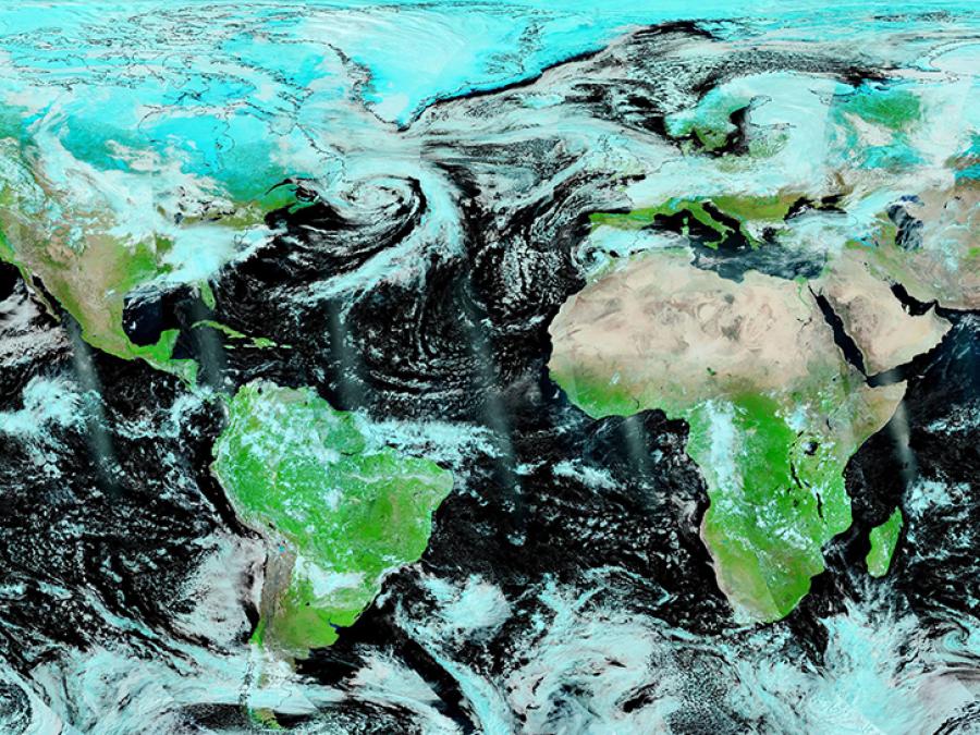
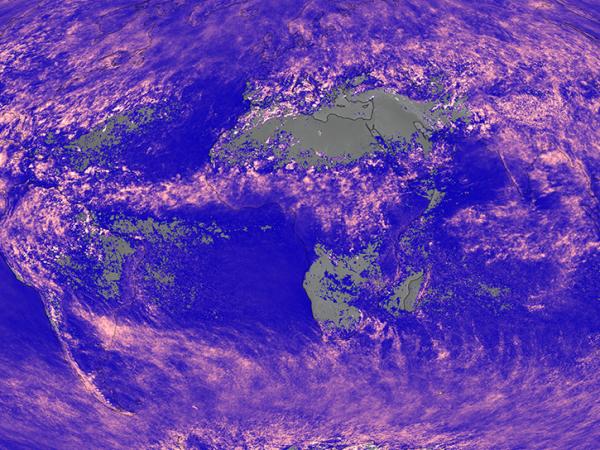
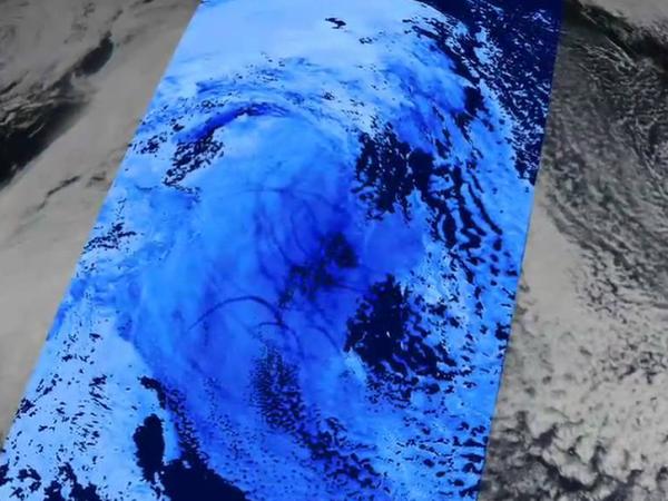
NASA's Moderate Resolution Imaging Spectroradiometer (MODIS) Adaptive Processing System (MODAPS) Science Investigator-led Processing System (SIPS), located at NASA's Goddard Space Flight Center in Greenbelt, Maryland, processes data from the MODIS instrument on NASA's Terra and Aqua satellites. MODIS SIPS products include data in 36 spectral bands for land/cloud/aerosols, atmospheric water vapor, surface/cloud temperature, and cloud top altitude to help improve our understanding of global dynamics and processes occurring on the land, in the oceans, and in the lower atmosphere. The products generated by MODAPS SIPS are archived by NASA's Level 1 and Atmosphere Archive and Distribution System Distributed Active Archive Center (LAADS DAAC), Land Processes DAAC (LP DAAC) and National Snow and Ice Data Center DAAC (NSIDC DAAC).

Ocean-related products from MODIS are produced by NASA's Ocean Data Processing System SIPS (ODPS SIPS).

Contact Information

Evelyn Ho, NASA Official

MODIS banner

FIND MODIS DATA

SEARCH MODIS DATA

SIPS MODAPS Aqua MODIS corrected reflectance 7-2-1

Image of Corrected Reflectance (Bands 7-2-1) , taken from the MODIS instrument on the Aqua satellite.

EOSDIS SIPS

NASA's Earth Science Data and Information System (ESDIS) Project supports data processing by providing SIPS. Most of NASA's Earth Observing System (EOS) standard products are produced at facilities under the direct control of the instrument Principal Investigators/Team Leaders (PIs/TLs) or their designees. The SIPS are geographically distributed across the United States and are generally, but not necessarily, collocated with the PIs/TLs’ Scientific Computing Facilities (SCFs). Products produced at the SIPS using investigator-provided systems and software are sent to the appropriate DAACs for archival and distribution. Level 0 Data Products and Ancillary Data that begin the processing sequence are stored at the DAACs and retrieved by the SIPS.

Access the Earthdata Forum for questions and answers on atmospheric science data.

Access the Earthdata Forum for questions and answers on cryospheric science data.

Access the Earthdata Forum for questions and answers on NASA data products related to land processes.


Learn more about other SIPS

Links

  • icon - atmosphere
    Aerosol Products

  • icon - atmosphere
    Cloud Mask

  • icon - land
    Surface Temperature

  • icon - land
    Land Cover and Land Use Change

  • icon - cryosphere
    Sea Ice Cover

  • icon - cryosphere
    Snow Cover

  • icon - land
    Surface Reflectance

  • icon - land
    Vegetation Cover Conversion

Page Last Updated: Mar 11, 2021 at 11:51 PM EST

NASA Earthdata Reference Sheets

  • Atmosphere data set reference sheet
  • Cryosphere data set reference sheet
  • Land data set reference sheet
  • Moderate Resolution Imaging Spectroradiometer

Discover Data and Services

  • Earthdata Search
  • International Directory Network (IDN)
  • Data Tools

@NASAEarthdata

Loading Tweets by NASAEarthdata...

We're sorry. Our Twitter feed cannot load right now.

In the meantime, visit us below!

@NASAEarthdata

ABOUT

DATA

COLLABORATE

LEARN

USER RESOURCES

SUPPORT

NASA Links

  • NASA Official: Stephen Berrick
  • Web Privacy Policy
  • Data and Information Policy
  • Communications Policy
  • Freedom of Information Act
  • USA.gov
  • Sitemap