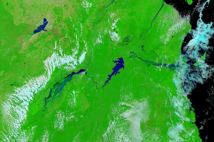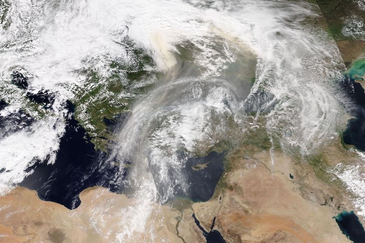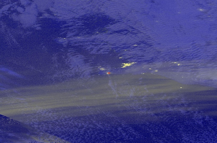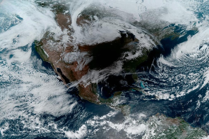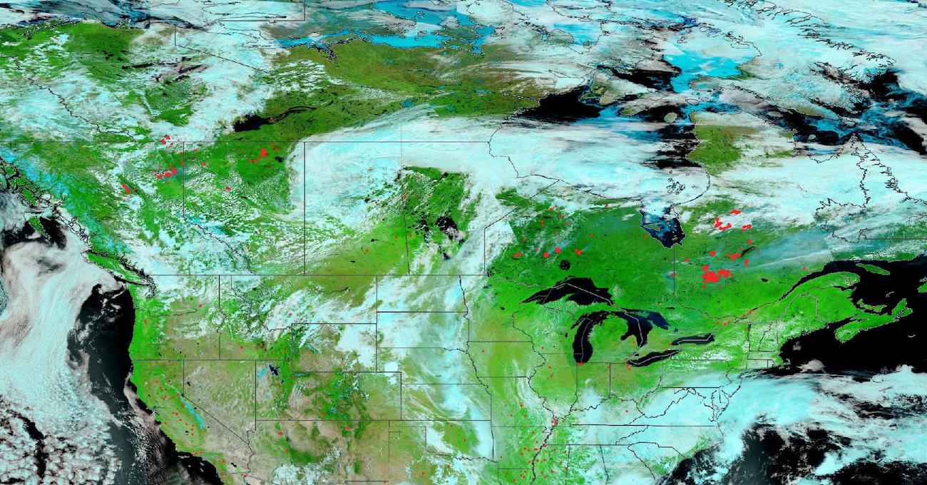
False-color corrected reflectance image of fires burning across Canada on June 21, 2023. These images were acquired by the Visible Infrared Imaging Radiometer Suite (VIIRS) aboard the joint NASA/NOAA Suomi National Polar-orbiting Partnership (Suomi NPP) satellite. The images are false-color Red-Green-Blue (RGB) composites where Red is Band 7, Green is Band 2, and Blue is Band 1. This band combination is most useful for distinguishing burn scars from naturally low vegetation or bare soil and for enhancing floods. Vegetation appears green, water is black/dark blue, and burn scars are red. Overlaid on the image are active fire detections shown as red points. Clusters of red points in the image correspond to large fires in the provinces of British Columbia, Alberta, Ontario, and Quebec. Visit Worldview to see these fires across Canada.
As of June 14, 2023, 2,619 fires in Canada have burned approximately 13 million acres, according to the Canadian Wildland Fire Situation Report. Both figures are far above the 10-year average for mid-June of 1,926 fires and approximately 818,000 acres burned.
Visit Worldview to visualize near real-time imagery from NASA's EOSDIS; find more imagery in our Worldview weekly image archive.
