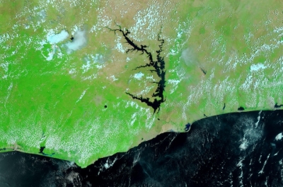
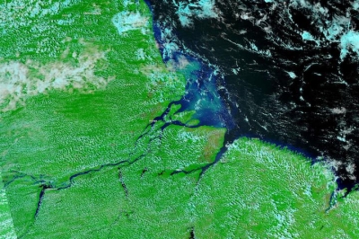
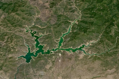
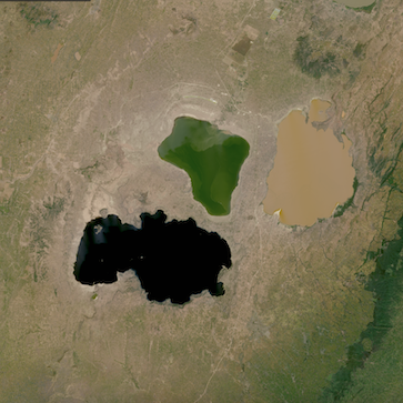
Sensors on a suite of NASA satellites observe and measure freshwater resources, including rainfall, snow and ice, rivers and lakes, groundwater, soil moisture, and water quality. These measurements are important to understanding the availability and distribution of Earth's water, which is both vital to life and vulnerable to the impacts of climate change and a growing world population.
Discover and Visualize Data
Groundwater
Groundwater storage around the world is on the decline, largely as a response to human consumption, primarily from irrigation. Understanding our impacts on this resource provides for better management and sustainable use.
- Discover Groundwater Data
- Groundwater Data at NASA's Alaska Satellite Facility Distributed Active Archive Center (ASF DAAC)
- Groundwater Data at NASA's Oak Ridge National Laboratory DAAC (ORNL DAAC)
- Groundwater Data at NASA's Physical Oceanography DAAC (PO.DAAC)
- Groundwater Data at NASA's Socioeconomic Data and Applications Center (SEDAC)
Webinars
- Data Access and Visualization of Model Data at NASA's Goddard Earth Sciences Data and Information Services Center (GES DISC)
- ECOsystem Spaceborne Thermal Radiometer Experiment on Space Station (ECOSTRESS): NASA's Next-Generation Mission to Measure Evapotranspiration from the International Space Station
- Making Synthetic Aperture Radar (SAR) Data Accessible- New Sensors, Tools and Services
Data Tutorials/Recipes
Rainfall
Measuring rainfall helps advance our understanding of Earth's water cycle, improving forecasts of extreme events such as flooding, landslides, and drought. Knowing when, where, and how much rain will fall improves crop forecasts and can benefit agriculture.
- Discover Rain Data
- Rain Data at GES DISC
- Rain Data at NASA's Global Hydrometeorology Resources Center DAAC (GHRC DAAC)
- Visualize Rain Data
Webinars
- Data Access and Visualization of Model Data at GES DISC
- NetCD-what? An Ecologist’s Guide to Working with Daymet and other NetCDF-formatted Data
- Tropical Rainfall Measuring Mission (TRMM) and Global Precipitation Measurement (GPM) Precipitation Products and Services at GES DISC
Data Tutorials/Recipes
- Daymet Single Pixel Data Extraction—Web Services
- How to Import MERRA Surface Product Data into ArcGIS
- How to Obtain Data for Conducting Hurricane Case Study
Rivers and Lakes
The amount of water in our rivers and lakes is important in assessing water availability and in preparing for possible water-related events, such as floods and drought.
- Rivers and Lakes at ORNL DAAC
- Citizen Science on Lakes
- Discover Rivers and Lakes Data
- Rivers and Lakes at SEDAC
- River and Lakes at GES DISC
- Visualize Rivers and Lakes Data
Webinars
Data Tutorials/Recipes
- How to Detect Environmental Change using SAR Data in ArcGIS
- How to Detect Environmental Change using SAR Data in QGIS
- How to Import Modern-Era Retrospective analysis for Research and Applications (MERRA) Surface Product Data into ArcGIS
- How to Map Regional Inundation with Sentinel-1 using Sentinel-1 Toolbox
- How to Map Regional Inundation with Spaceborne L-band SAR using ArcGIS
- How to Map Regional Inundation with Spaceborne L-band SAR using QGIS
Soil Moisture
Understanding soil moisture aids in improving weather forecasts, monitoring drought, predicting floods, and assessing agricultural needs.
- Discover Soil Moisture Data
- Soil Moisture Data at GES DISC
- Soil Moisture Data at NASA's National Snow and Ice Data Center DAAC (NSIDC DAAC)
- Soils Data at ORNL DAAC
- Visualize Soil Moisture Data
Webinars
Data Tutorials/Recipes
- Download and Visualize SMAP Data using Python
- Learn how to Search, Order, and Customize SMAP Data using Earthdata Search (PDF)
Snow and Ice
Most freshwater is frozen in glaciers, snow, ice caps, and ice sheets. Approximately one-sixth of Earth’s population is dependent upon freshwater output from this seasonal snowpack and glacial ice melt for daily use. Both seasonal and long-term changes to snow cover and ice can impact the amount of freshwater that is available.
Snow and Snow Cover
Land Ice
- Discover Land Ice Data
- Land Ice Data at ASF DAAC
- Land Ice Data at NSIDC DAAC
- Visualize Land Ice Data
Snow Water Equivalent (SWE)
Webinars
- Discovering and Differentiating Data with NSIDC Search
- NetCD-what? An Ecologist’s Guide to Working with Daymet and other NetCDF-formatted Data
- Operation IceBridge Come Discover a Decade of Polar Data
Water Quality
Healthy water is essential to support and sustain life. Water quality can be monitored in a variety of ways, but through satellite remote sensing, the primary way is through ocean color, which is impacted by chlorophyll content, sediment, and dissolved organic matter.
- Discover Water Quality Data
- Visualize Water Quality Data
- Water Quality at GES DISC
- Water Quality Data at NASA's Ocean Biology DAAC (OB.DAAC)
Webinars
- Bio-Optical in situ Data Discovery and Access with the Sea-viewing Wide Field-of-view Sensor (SeaWiFS) Bio-optical Archive and Storage System (SeaBASS)
- Discover NASA Ocean Color Data, Services and Tools
- SeaWiFS Data Analysis System (SeaDAS)—Enabling the Study of our Planet from Space
Data Tutorials/Recipes