New datasets showing more than 17 years of mass variability and mass change in Antarctica and Greenland and across the entire global ocean are now available at NASA’s Physical Oceanography Distributed Active Archive Center (PO.DAAC). The datasets range from April 2002 to November 2019, and were produced using data from two missions designed to measure changes in Earth’s gravity—the joint NASA/German Aerospace Center (DLR) Gravity Recovery and Climate Experiment (GRACE; operational 2002 to 2017) and the joint NASA/German Research Centre for Geosciences (GFZ) GRACE Follow-On (GRACE-FO; operational 2018 to present). As the GRACE-FO mission continues, NASA’s PO.DAAC will update these timeseries.
, Greenland (decreasing mass, center graph), and the global ocean (increasing Equivalent Water Height, which is analogous to mass, right graph).")
Since water has mass (1 U.S. gallon of water weighs approximately 8.34 pounds), changes in water distribution, such as the melting of ice from Greenland and Antarctica, result in enormous mass shifts on a global scale. This redistribution of concentrations of mass can cause localized changes in Earth’s gravitational pull, which can be detected by the twin GRACE-FO satellites.
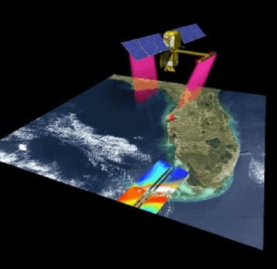
Like the original GRACE mission, the currently operating GRACE-FO mission comprises two identical satellites flying in formation around Earth at an altitude of 490 km and separated by approximately 220 kilometers. Instruments aboard the satellites precisely measure small changes in the distance between them due to orbital perturbations caused by variations in Earth’s gravity field. The satellites can detect changes smaller than a micrometer per second in relative velocity. These measurements, in conjunction with other data and models, provide observations of terrestrial water storage changes, ice-mass variations, ocean bottom pressure changes, and sea-level variations.
Read more about these new datasets at NASA’s PO.DAAC: https://go.nasa.gov/38YINhU
Explore these data at NASA’s PO.DAAC:
OCEAN_MASS_TELLUS_MASCON_CRI_TIME_SERIES_RL06_V2 (DOI: 10.5067/TEMSC-OTS62)
ANTARCTICA_MASS_TELLUS_MASCON_CRI_TIME_SERIES_RL06_V2 (DOI:10.5067/TEMSC-ATS62)
GREENLAND_MASS_TELLUS_MASCON_CRI_TIME_SERIES_RL06_V2 (DOI:10.5067/TEMSC-GTS62)