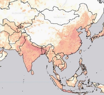
A new dataset at NASA’s Socioeconomic Data and Applications Center (SEDAC) provides information about a range of commonly-used agricultural pesticides, and is designed to help enable assessment of human and ecosystem exposure to these pesticides along with related research. Developed by researchers in Australia, the Global Pesticide Grids (PEST-CHEMGRIDS), v1 dataset (DOI:10.7927/ga8j-wz84) includes a comprehensive database of the 20 most-used pesticide active ingredients on six dominant crops and four aggregated crop classes estimated in year 2015 and projected to the years 2020 and 2025.
The Global Pesticide Grids dataset is one of five datasets comprising SEDAC’s Global Agricultural Inputs, v1 data collection. The objective of this collection is to provide a better understanding of the current level and spatial patterns of fertilizer, pesticide, and manure applications on a global scale, and to help identify areas that might be sensitive to aquatic eutrophication, nutrient depletion, habitat destruction, and species extinction. The Global Pesticide Grids may be a valuable resource for research assessing human and ecosystem exposure to potential and recognized toxicants, and has a wide range of uses, including environmental modelling and the assessment of agricultural chemical contamination and risk analysis.
SEDAC is the NASA Earth Observing System Data and Information System (EOSDIS) Distributed Active Archive Center (DAAC) responsible for archiving and distributing socioeconomic data in the EOSDIS collection, and is hosted at Columbia University’s Center for International Earth Science Information Network (CIESIN). SEDAC synthesizes Earth science and socioeconomic data and information in ways useful to a wide range of decision makers and other applied users, and serves as an “Information Gateway” between the socioeconomic and Earth science data and information domains.
Explore the Global Pesticide Grids dataset at NASA’s SEDAC: DOI:10.7927/ga8j-wz84