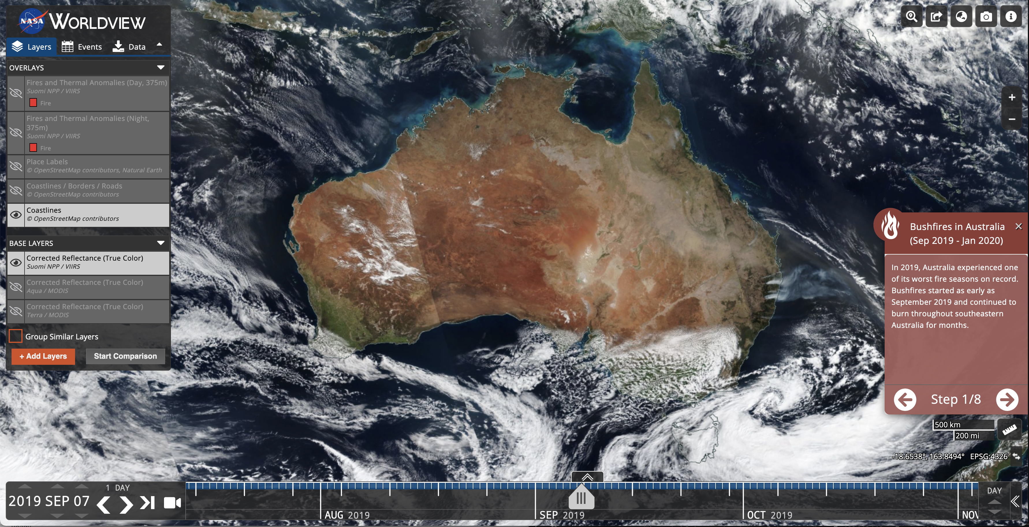
The Worldview tool from NASA's Earth Observing System Data and Information System (EOSDIS) provides the capability to interactively browse over 1000 global, full-resolution satellite imagery layers and then download the underlying data. Many of the imagery layers are updated daily and are available within three hours of observation - essentially showing the entire Earth as it looks "right now". This supports time-critical application areas such as wildfire management, air quality measurements, and flood monitoring. View current natural hazards and events using the Events tab which reveals a list of natural events, including wildfires, tropical storms, and volcanic eruptions. Animate the imagery over time. Geostationary imagery layers are also now available. These are provided in ten minute increments for the last 90 days. These full disk hemispheric views allow for almost real-time viewing of changes occurring around most of the world. Arctic and Antarctic views of many products are also available for a "full globe" perspective. Browsing on tablet and smartphone devices is generally supported for mobile access to the imagery.
Also available is Worldview Snapshots, a lightweight tool for creating image snapshots from a selection of popular NASA satellite imagery layers. Users can preview and download imagery in different band combinations and add overlays on the imagery of active fire detections, coastlines, borders, and roads. Worldview Snapshots is ideal for users with low/limited bandwidth access or for users who want to rapidly retrieve georeferenced satellite imagery of the same area each day.
- Tutorial: Getting Started with NASA Worldview (December 2021)
- Webinar: NASA Worldview - Explore the Earth from Past to Present with Global Satellite Observations (May 2021)
- Animated GIF Tutorial: View and Share your Planet with Worldview (April 2020) Tutorial en español
- Brochure: How to Use Worldview (November 2019)
- MODIS Video: NASA's Worldview: Two decades of Earth Data at your Fingertips (June 2018)
Powered by GIBS
Worldview uses NASA's Global Imagery Browse Services (GIBS) to rapidly retrieve its imagery for an interactive browsing experience. While Worldview uses OpenLayers as its mapping library, GIBS imagery can also be accessed from Cesium, ArcGIS, GDAL, several other clients. We encourage interested developers to build their own clients or integrate NASA imagery into their existing ones using these services.
Comments/suggestions/problem reports are welcome via Earthdata Support. View frequently asked questions (FAQ) about Worldview.
To receive notifications from GIBS and Worldview about updates, announcements, data issues and scheduled maintenance, subscribe to the GIBS mailing list by sending an email to eosdis-gibs-announce-join@lists.nasa.gov (no subject or text in the body is needed).
