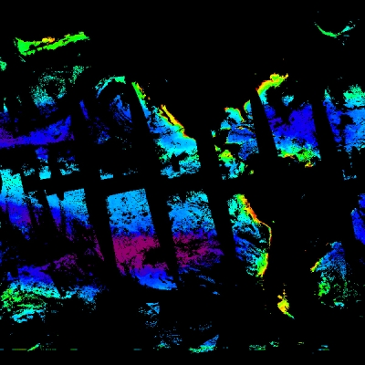
The Ocean Topography Experiment (TOPEX)/Poseidon has provided nearly continuous measurements of sea level accurate to 5 cm or better for the last two years. This unprecedented level of accuracy has been accomplished through improvements to the orbit determination, ionosphere correction, and wet troposphere correction over previous missions.
This paper deals with the assimilation of TOPEX/Poseidon data, supplied by NASA's Physical Oceanography Distributed Active Archive Center (PO.DAAC), located at NASA's Jet Propulsion Laboratory, into a model of the North Atlantic. It is a contribution to the SIMAN (SIMulation de l'Atlantique Nord) project that is currently under way in Grenoble. The aim of the project is to study the dynamics of the North Atlantic Ocean between 20 degrees N and 60 degrees N by performing experiments on the assimilation of altimeter data into a multilayered quasi-geostrophic (QG) model covering this basin. A major part of the circulation in this area is dominated by the Gulf Stream. High horizontal resolution is used in order to explicitly resolve the energetic mesoscale variability.
Assimilation experiments were conducted using the first 12 months of TOPEX/Poseidon (TP) altimeter measurements in a multilayered quasi-geostrophic model of the North Atlantic between 20 degrees N and 60 degrees N. These experiments demonstrate the feasibility of using T/P data to control a basin scale circulation model by means of an assimilation procedure. Moreover, they allow us to recreate the four-dimensional behavior of the North Atlantic Ocean during the year October 1992 through September 1993 and to improve our knowledge and understanding of such circulation patterns.
For this study we used a four-layer quasi-geostrophic model of high horizontal (1/60 in latitude and longitude) resolution. The assimilation procedure used is an along-track, sequential nudging technique. The evolution of the model general circulation is described and analyzed from a deterministic and statistical point of view, with special emphasis on the Gulf Stream area. The gross features of the North Atlantic circulation in terms of mean transport and circulation are reproduced, such as the path, penetration and recirculation of the Gulf Stream, and its meandering throughout the eastern basin. The North Atlantic Drift is, however, noticeably underestimated. A northern meander of the north wall of the Gulf Stream above the New England Seamount Chain is present for most of the year, while, just downstream, the southern part of the jet is subject to a 100 km southeastward deflection.
The Azores current is shown to remain stable and to shift southward with time from the beginning of December 1992 to the end of April 1993, the amplitude of the shift being about 20. The computation of the mean latitude of the Gulf Stream as a function of time shows an abrupt shift from a northern position to a southern position in January, and a reverse shift, from a southern position to a northern position, in July.
Finally, some issues are addressed concerning the comparison of assimilation experiments using T/P data and Geosat data. The first results show that the T/P simulations are more energetic than the Geosat simulations, especially east of the Mid-Atlantic Ridge, for every wavelength from 50 km to 500 km. This property is also verified in the deep ocean. The predicted abyssal circulation is indeed more energetic in the T/P case, which is more in accordance with what we know for the real ocean. Moreover, the good T/P altimeter coverage near the coasts greatly improves the model eddy kinetic energy levels in these areas, especially east of 250 W.
References
Blayo, E., J. Verron, and J. M. Molines. 1994. Journal of Geophysical Research. 99c(12):24691-24706.
For more information
NASA Physical Oceanography Distributed Active Archive Center (PO.DAAC)
Ocean Topography Experiment (TOPEX)/Poseidon
| About the remote sensing data used | ||
|---|---|---|
| Data | TOPEX/Poseidon | |
| Parameter | circulation in North Atlantic | |
| DAAC | NASA Physical Oceanography Distributed Active Archive Center (PO.DAAC) | |
